Thursday, June 4, 2015

Wednesday, May 20, 2015
Top advantages of Project Parameters
Advantages of Project Parameters in Revit
- Sorting/Grouping in Schedule – You can add parameter like Tower number, which can help in sorting while scheduling

- Color coding by using Filter- You can add parameter like Month, which can help in filtering to color code in filter
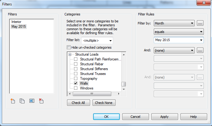
- In Navisworks for making sets- You can add parameter like Activity, which can help make sets in Navisworks & which later can be used in Timeliner.
- For adding useful information while building As-built model.
Saturday, May 16, 2015
Points of Revit Topography in text file via Dynamo
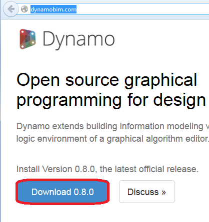
You need to install Dynamo, click here
Open Revit file with topography & select Dynamo under Add-ins menu

This will open Dynamo window, hit New
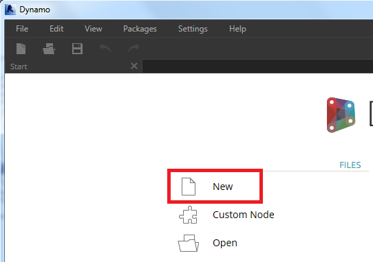
We are now in Dynamo file

In search at top left corner, type select model element.
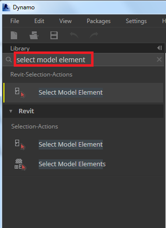
You will see the options coming up to select, select “Select Model Element”
Below tab will pop-up to select the element
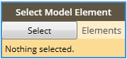
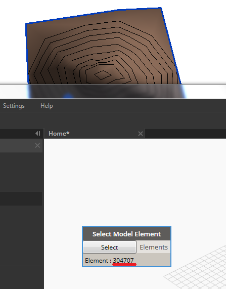
Hit Select in it & select the Topography in Revit
See that after selecting element id will be shown
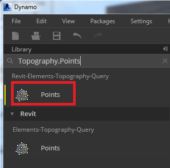
Now in search tab type Topography.Points & select Points shown below
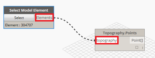
Select Elements & topography, as shown
Now search Code, select Code Block

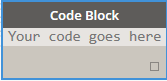
In Code Block, Type P & hit cursor outside

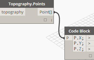
Now after P type .X; enter, type P.Y; enter & type P.Z;

Link above to Points in Topography
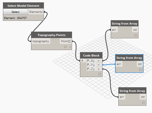
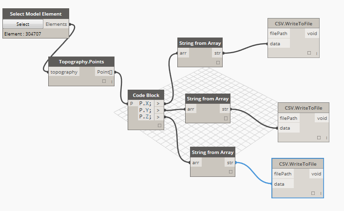
Search for string from array, link this tab to code block as shows
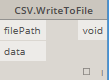
Now search for csv. & select WriteToFile

Below tab will appear
Link it as below
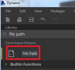
Search for file path & select the one shown below

Link it with filePath of CSV.WriteToFile

Hit the Browse tab in File Path to save the text file, remember to give separate name else files will override each other
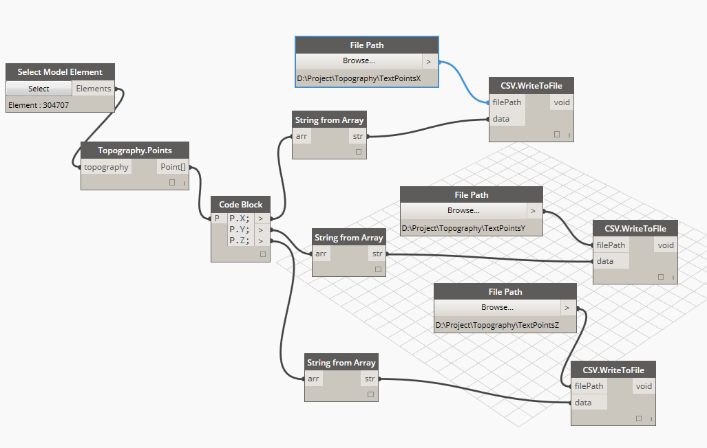
This will give you three separate text file of points

Enjoy
Friday, May 15, 2015

Built basic data to start modeling in Infraworks 360LT
Doble click below Icon

Above Icon is for Autodesk Infrawork 360 LT, available with Autodesk Infrastructure Design Suite Ultimate 2016 & Autodesk Building Design Suite Ultimate 2016 subscripted members.
This will open below to sign-in your account, as Infrawork 360 is a cloud based service provided by Autodesk.

Once sign-in is done below window appears

To generate the basic data to start with project hit model builder

Below Model Builder window will appear

We will take example of Powai, Mumbai area as I work there
In search type Powia, Mumbai, India

To change the view I will select below under Road drop down,

Above will change view to satellite view

Below are the options to select the view

I will select, the draw polygon option
Put the name of the file in left bottom corner & hit Create Model

This will show you below window, close this & wait for a while

You will get the mail & also now can see the file in Infraworks, hit the file to download & open.

Once opened you can see below

Enjoy
Thursday, May 7, 2015
Autodesk finds system & graphics hardware for you
Goto website click here
Select the required this as shown below & hit find button,

You will get the required results as below,

I am Dell fan so selected Dell as a manufacturer
Monday, May 4, 2015
Subscribe to:
Posts (Atom)